| 11.6″ x 7.7″ x 3.9″ (29.5 x 19.5 x 9.8 cm) |
| |
| |
| |
| |
| 8.5″ x 5.4″; 10″ diagonal (21.7 x 13.6 cm; 25.4 cm diagonal) |
| |
| |
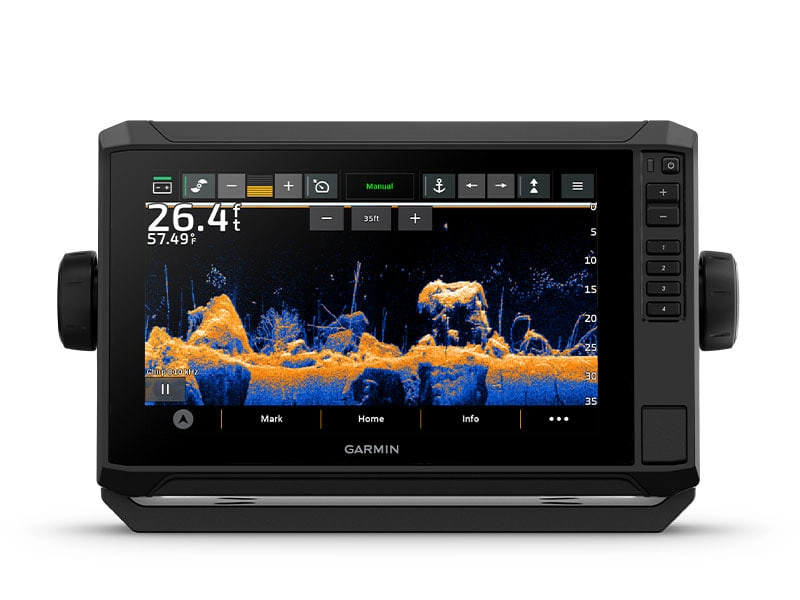
| Touchscreen with Keyed Assist |
|
|---|
| |
| |
| |
| |
| |
|
|---|
| |
| |
| |
| |
| |
| |
| |
| |
SUPPORTS MULTI-BAND, MULTI-CONSTELLATION GPS | |
|
|---|
| |
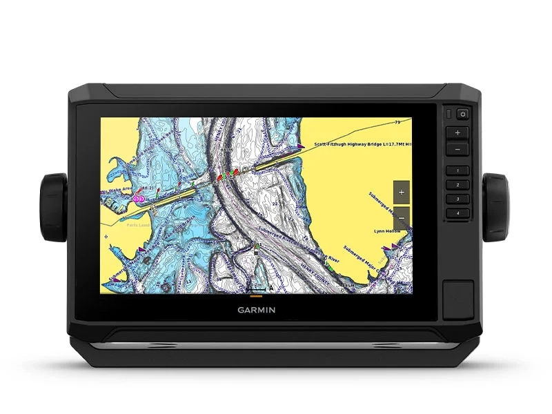
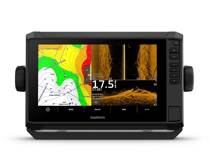
Garmin Navionics+ Inland & Coastal | |
| |
|
|---|
| |
| |
| |
| |
| |
GARMIN NAVIONICS VISION+™ | |
| |
| |
GARMIN QUICKDRAW CONTOURS | |
|
|---|
| |
| |
SUPPORTS FUSION-LINK™ COMPATIBLE RADIOS | |
ACTIVECAPTAIN MOBILE PLANNING COMPATIBLE | |
| |
|
|---|
| |
Typical current draw at 12 VDC | |
Maximum current draw at 12 VDC | |
Maximum power usage at 10 VDC | |
Sonar features & specifications |
|---|
| |
| |
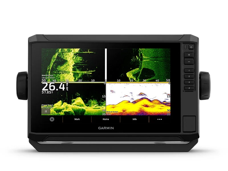
Traditional sonar (dual frequency/beam) | built-in (single channel CHIRP, 70/83/200 kHz, L, M, H CHIRP) |
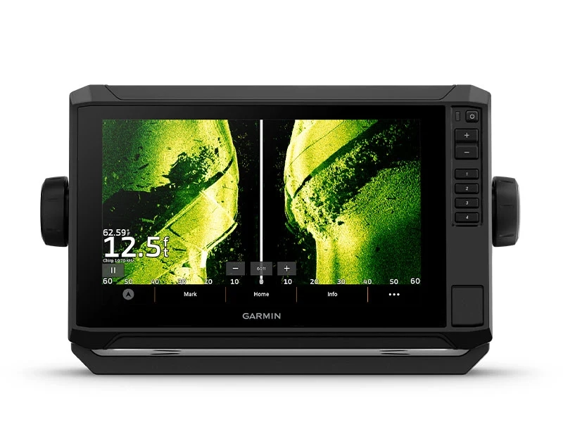
| Built-in 260/455/800/1000/1200 kHz |
| Built-in 260/455/800/1000/1200 kHz |
| |
| |
|
|---|
| |
Garmin Marine Network ports | |
| |
| |
Garmin Wi-Fi Network (local connection) | |
|
|---|
| Garmin Navionics+ (Inland and Coastal): 106sv, 105sv Australia and New Zealand
Tide tables: 106sv, 105sv Australia and New Zealand |