Garmin GPS Map 79S
Durable devices that go wherever you go and track your precise location in the process. Go farther than ever before when hiking and finding adventure.
Watch Video
CAST OFF CONFIDENTLY
Stay on course, and track more adventures with the GPSMAP® 79s rugged, floating handheld.
It’s water-resistant, it floats, and it’s fogproof, so it belongs on the water — just like you.
This thing can remember up to 10,000 waypoints and more, so you don’t have to.
It’s nice to have reliable positioning when you’re out on the water.
See the terrain you’ll travel with vivid satellite imagery that downloads right to your navigator.
Stay tuned to the forecast with active weather on your route when paired to your compatible smartphone.
Get the best of Garmin and Navionics® data with optional BlueChart® g3 charts.
MULTI-BAND GNSS SUPPORT
This handheld is water-resistant IPX7 with a high-resolution colour display you can read in the sun. The glass is even scratch-resistant and fogproof.
DESIGNED TO FLOAT
If rough waters come and the handheld goes overboard, don’t worry. This device floats.
BATTERY LIFE
User-replaceable AA batteries (not included) provide up to 19 hours of battery life in GPS tracking mode.
Built for life on
the boat.
ACCURATE TRACKING
With support for multiple satellite constellations — such as GPS, GLONASS, Galileo, QZSS and SBAS — you’ll get accurate, reliable tracking and positioning around the world.
INCREASED MEMORY
More memory than previous models means you can save and track 10,000 waypoints, 250 routes and 300 fitness activity files.
BUILT-IN COMPASS
The 3-axis tilt-compensated electronic compass shows your heading — even while the boat is standing still.
Exactly what you
need to navigate.
Specification
General | |
|---|---|
Lens Material | chemically strengthened glass |
Dimension | 2.67” x 6.85” x 1.67” (6.77 x 17.40 x 4.23 cm) |
Weight | 9.95 oz (282g) with batteries |
Water rating | IPX7 |
MIL-STD-810 | yes (thermal, shock, water); bare unit only |
Display Type | 
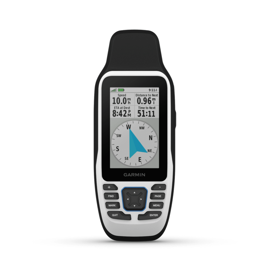
transflective, 65K color TFT |
Display Size | 1.5″W x 2.5″H (3.8 x 6.3 cm); 3″ diag (7.6 cm) |
Display resolution | 240 x 400 pixels |
Battery Type | 2 AA batteries (not included); NiMH or Lithium recommended |
Battery life | up to 19 hours |
Memory/History | 8 GB (user space varies based on included mapping on sc version) |
Interface | high speed microUSB and NMEA 0183 compatible |
Maps & Memory | |
Preloaded maps | yes (TopoActive, routable) |
Ability to add maps | ✓ |
Basemap | ✓ |
Automatic routing (turn by turn routing on roads) for outdoor activities | Yes (with optional mapping for detailed roads) |
Map segments | 15,000 |
Includes detailed hydrographic features (coastlines, lake/river shorelines, wetlands and perennial and seasonal streams) | Yes (downloadable from Garmin Express™) |
Includes searchable points of interests (parks, campgrounds, scenic lookouts and picnic sites | Yes (downloadable from Garmin Express™) |
Displays national, state and local parks, forests, and wilderness areas | Yes (downloadable from Garmin Express™) |
External memory storage | yes (32 GB max microSD™ card, not included) |
Waypoints/favorites/locations | 10000 |
Tracks | 250 |
Navigation Track Log | 20,000 points, 250 saved gpx tracks, 300 saved fit activities |
Navigation Routes | 250, 250 points per route; 50 points auto routing |
Rinex logging | ✓ |
Sensors | |
GPS | ✓ |
GLONASS | ✓ |
Galileo | ✓ |
QZSS | ✓ |
Compass | Yes (tilt-compensated 3-axis) |
High-sensitivity receiver | ✓ |
GPS compass (while moving) | ✓ |
Outdoor Recreation | |
Point-to-point navigation | ✓ |
Area calculation | ✓ |
Fish forecast | ✓ |
Geocaching-friendly | Yes (Paperless) |
Custom maps compatible | ✓ |
Picture viewer | ✓ |
